


Wakhan Corridor – Tajikistan #6 – July 2014
Ever since we began planning our adventure along the Silk Road, the Wakhan Corridor had been an intermediate goal. It was part of the route that Marco Polo took on his journey across Central Asia in the 13th century. The Corridor itself was created during the Great Game era (1800’s) by the Russian and British who decided their empires should not have a joint border in order to avoid conflicts, so they created this buffer zone, an artificial finger sticking towards China.
Wakhan Corridor – Afghanistan Border
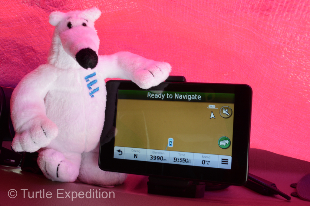
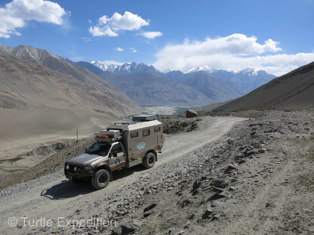 While we expected the mostly unpaved route through the Wakhan Corridor could be difficult, it seldom required four-wheel drive. We had previously obtained the special permit required to enter the Gorno-Badakhshan Autonomous Region.
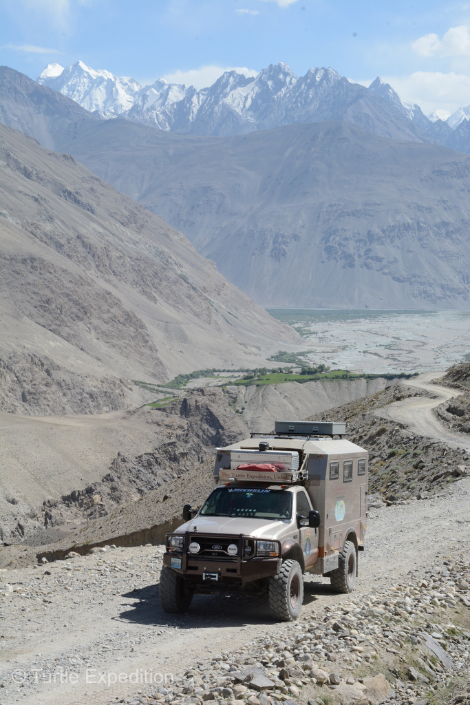
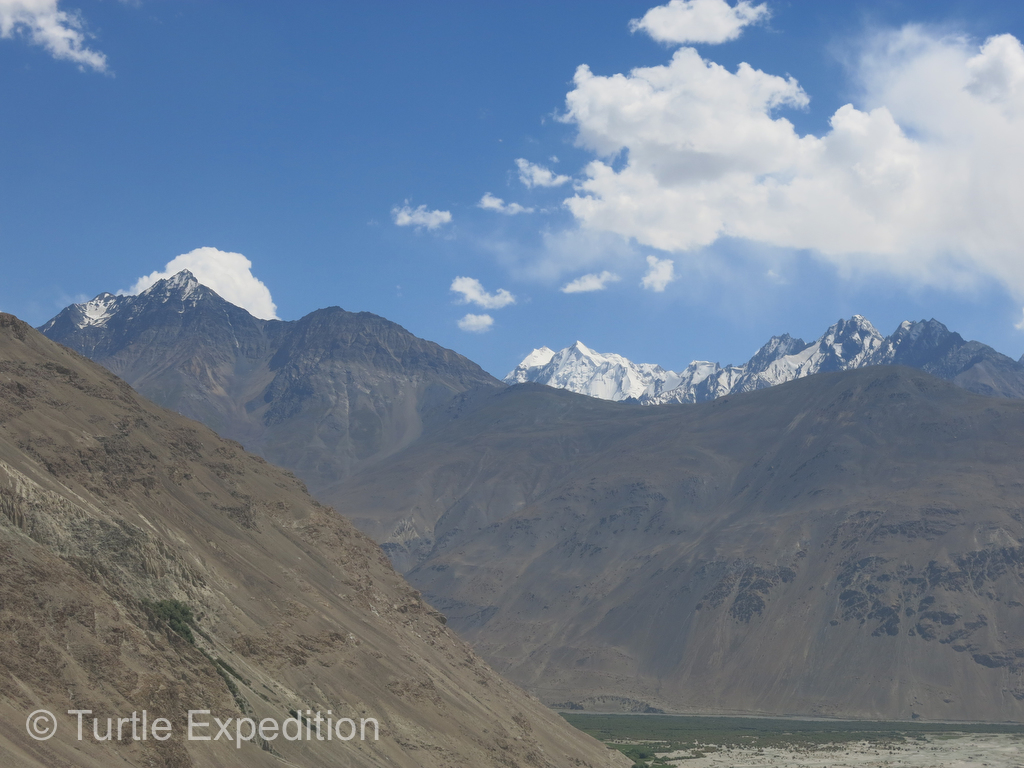
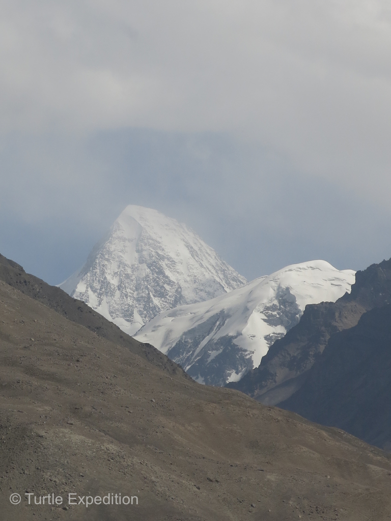
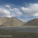
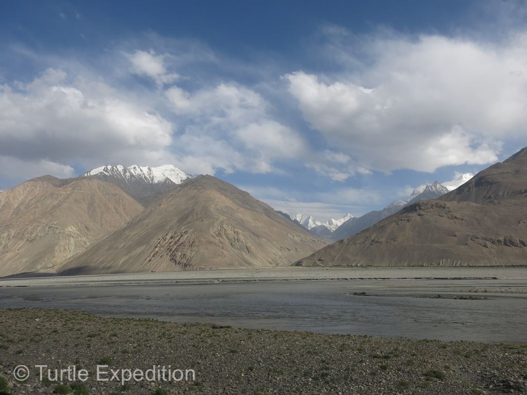
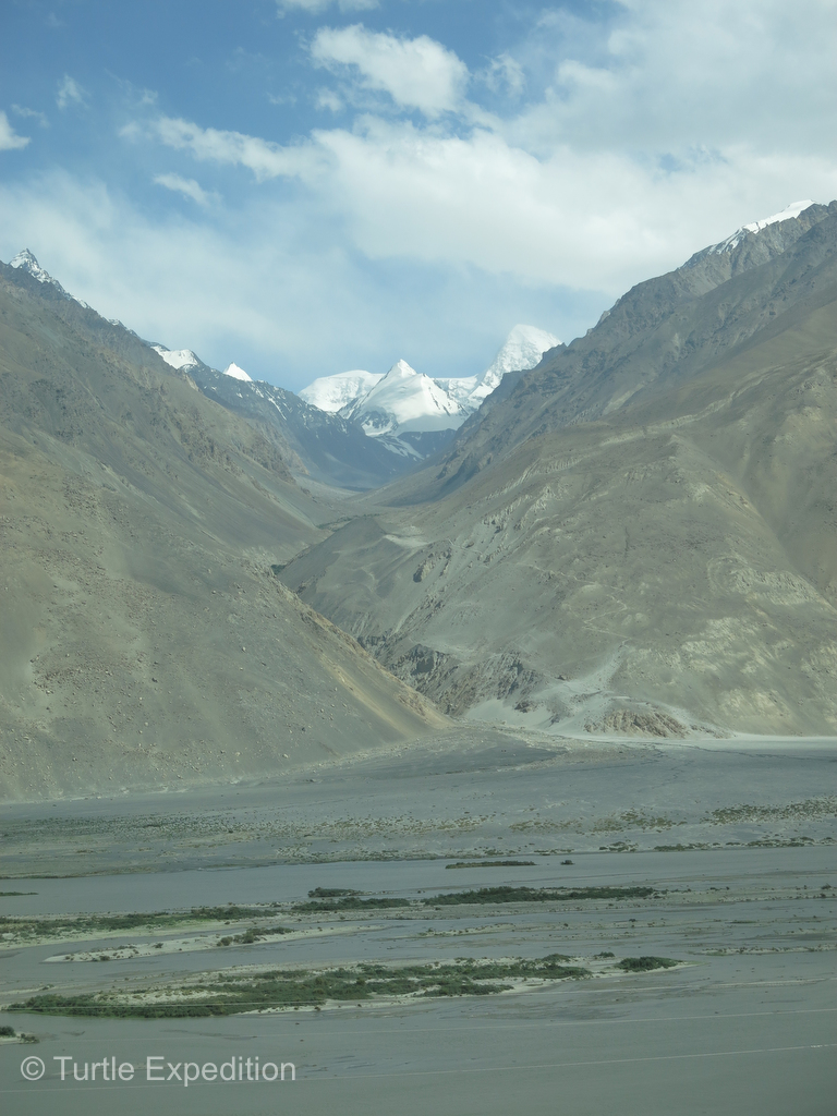
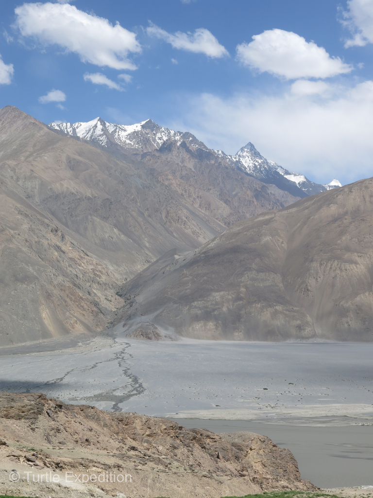
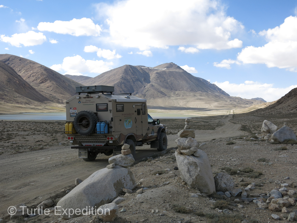
The attraction of this route along the Afghan border was the beautiful mountains, some of the highest in the world. As we followed the Panj River and the later the Pamir, always along the Afghan border, the mountain ranges around us have been called the “Roof of the World”. On the southern border of the Wakhan Corridor, the Hindu Kush Mountains could be seen in Pakistan.
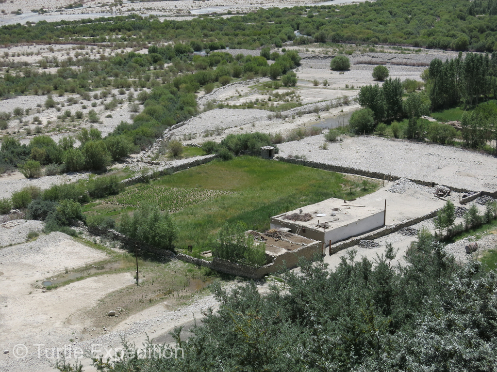
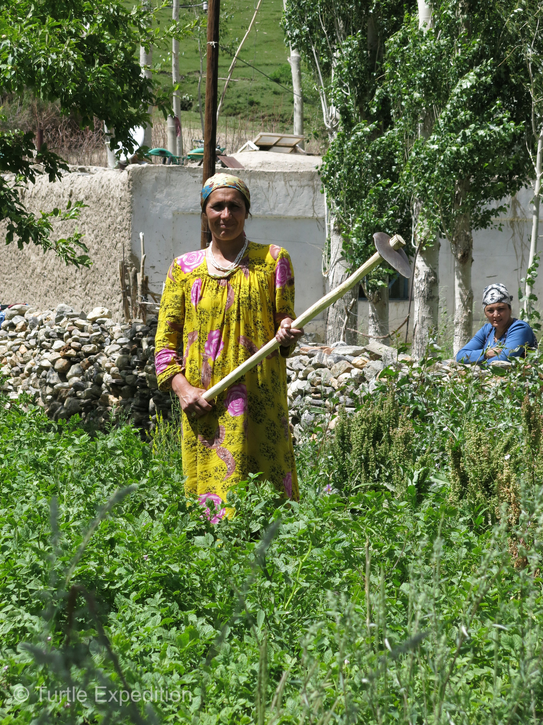
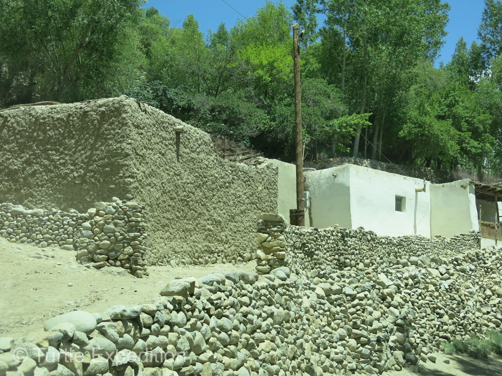
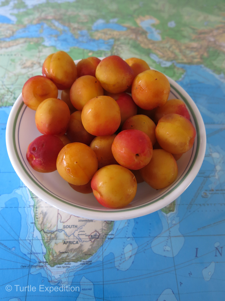
Passing the occasional village, simple homes were built of rocks and one handful of mud at a time. Patches of potatoes, wheat and other grains were cultivated by hand. People were very busy working in their fields and gardens. We couldn’t resist another half bucket of beautiful apricots at 10 or 20 cents a pound, picked ripe right off the tree. We learned that there are some 160 varieties throughout Central Asia including these delicious high altitude ones. Children, men and women waved as we passed. We sometimes stopped to give the kids balloons or stickers from our sponsors, or buy a handicraft from a lady to help supports the local economy. Our camps were often near a village and occasionally, people would invite us for chai (tea) that we usually politely declined, knowing times were tough and they often serve much more than tea.
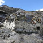
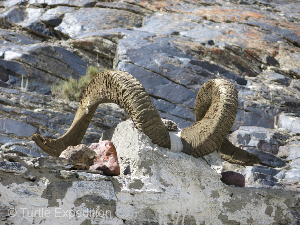
Searching for Marco Polo Bighorn Sheep
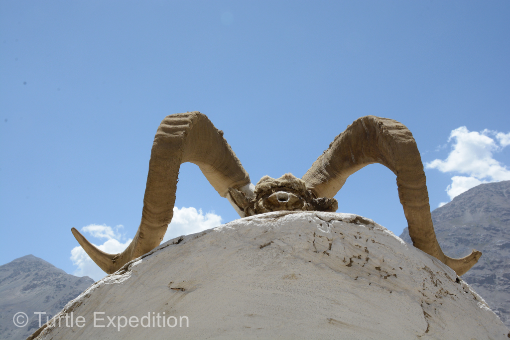
A Marco Polo Bighorn Sheep skull offering on a road side shrine.
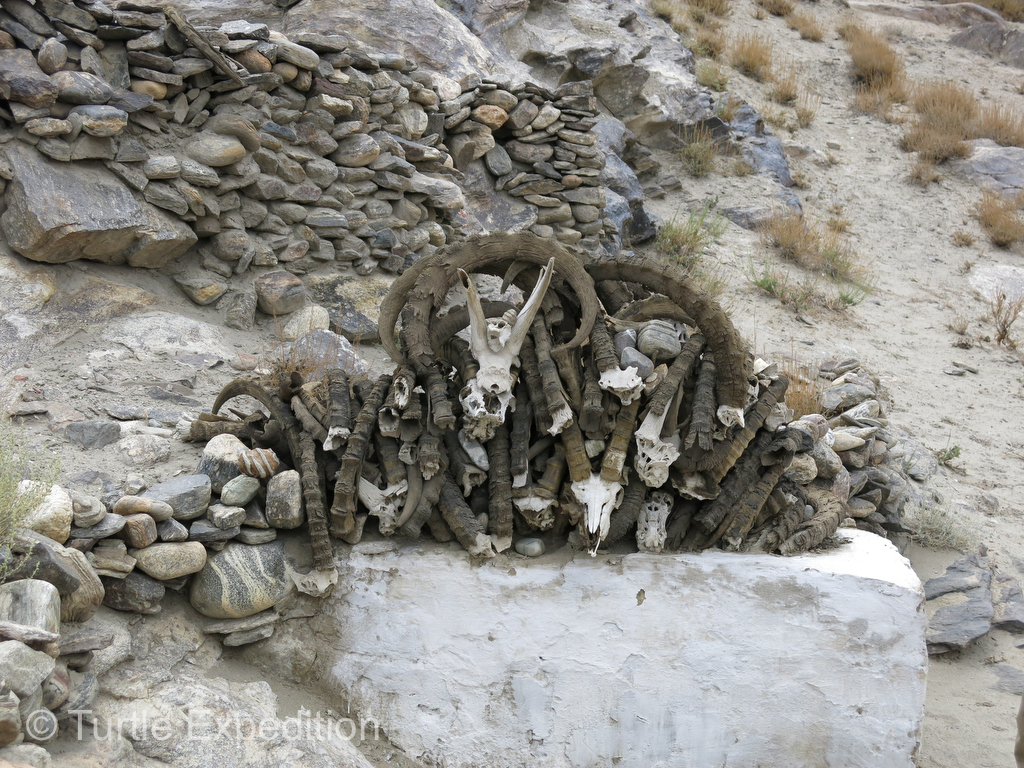
While everyone has a cell phone, (or so it seemed), and many have satellite dishes, none of them have running water and sanitation conditions are very third world. We had hoped to see a few of the endangered Marco Polo Bighorn Sheep but all we saw were marmots in the higher altitudes scurrying around and the occasional shrine with Ibex and Marco Polo sheep horns. One of our maps showed several locations of ancient settlements or fortresses or caravanseries, but we only spotted one well off the road. Did Marco Polo stay there??? Of course, the valleys would be the natural path for trading caravans.
Following the path of Marco Polo
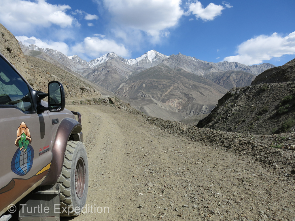
When the broken pavement ended in the Panj Valley outside Langar, the last village of the agricultural area, we switched to low range and 4×4 to negotiate the difficult sections more easily. But in fact, to our surprise, much of the road was quite passable although very bumpy and extremely dusty. Traffic was almost nonexistent and thankfully, the big Chinese trucks were no longer able to follow this route. Small Chinese micro vans and burros seem to be the modes of transportation in the valley. 4×4 SUV’s in the higher, uninhabited altitudes worked better. Goats and sheep occasionally crossed in front of us and we did see a small herd of camels.
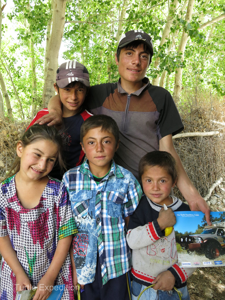
Villagers along the roadside were always friendly and excited that we had come all the way from California to see them.
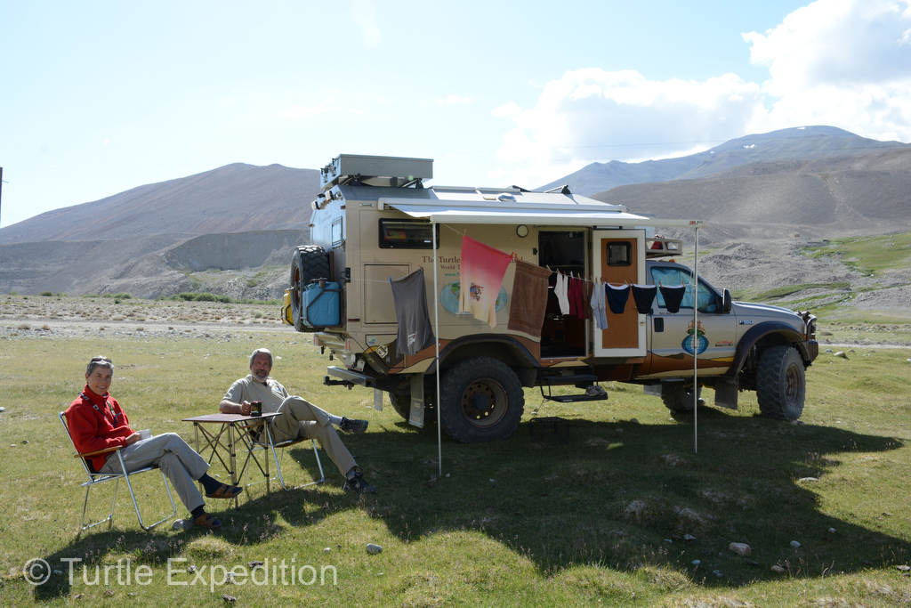
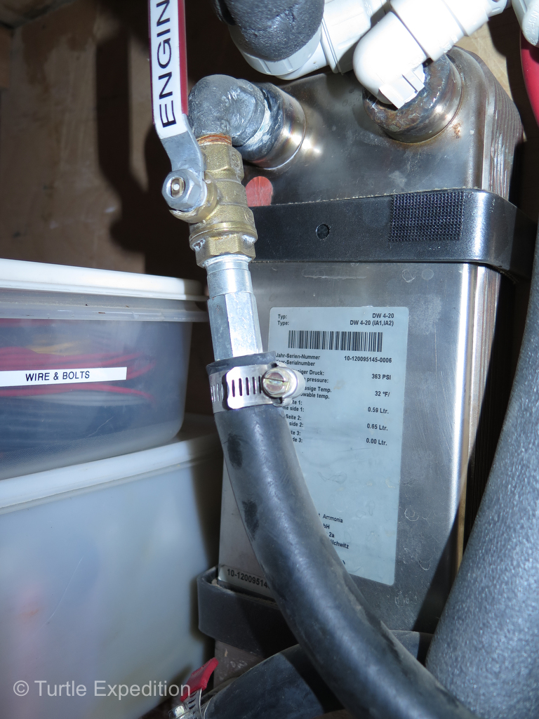
Even at camps above 13,000 ft. we were still able to enjoy hot water and even a nice shower thanks to the new high altitude compensation kit installed on our Espar D5 Hydronic coolant heater (installed in Istanbul) that feeds our FlatPlate heat exchanger.
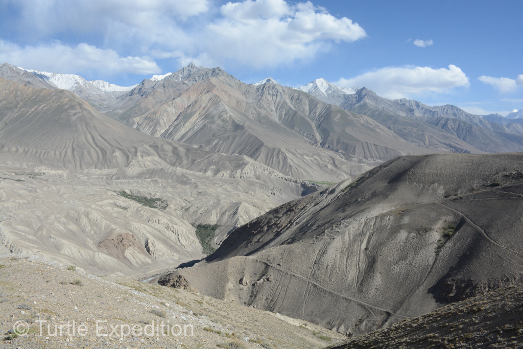
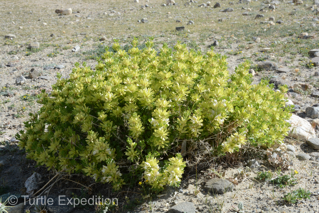
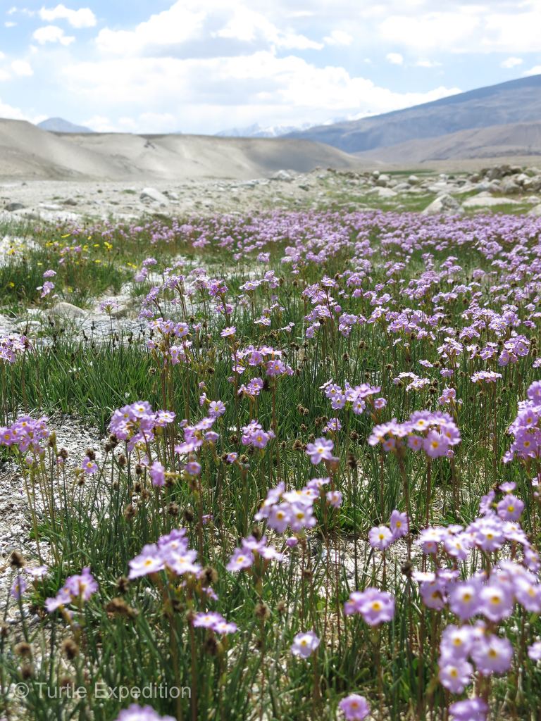
As we left the narrowing valley and climbed into the Southern Alichur Range towards Khargush Pass, the scenery was shockingly beautiful despite its lack of vegetation. Where sparkling creeks cascaded down from glacier-clad peaks, grass and small shrubs were growing. Even at this elevation a few flowers survived.
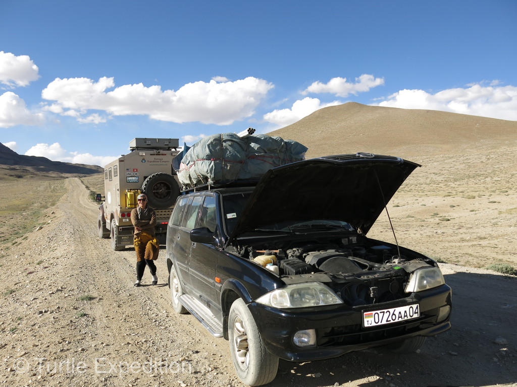
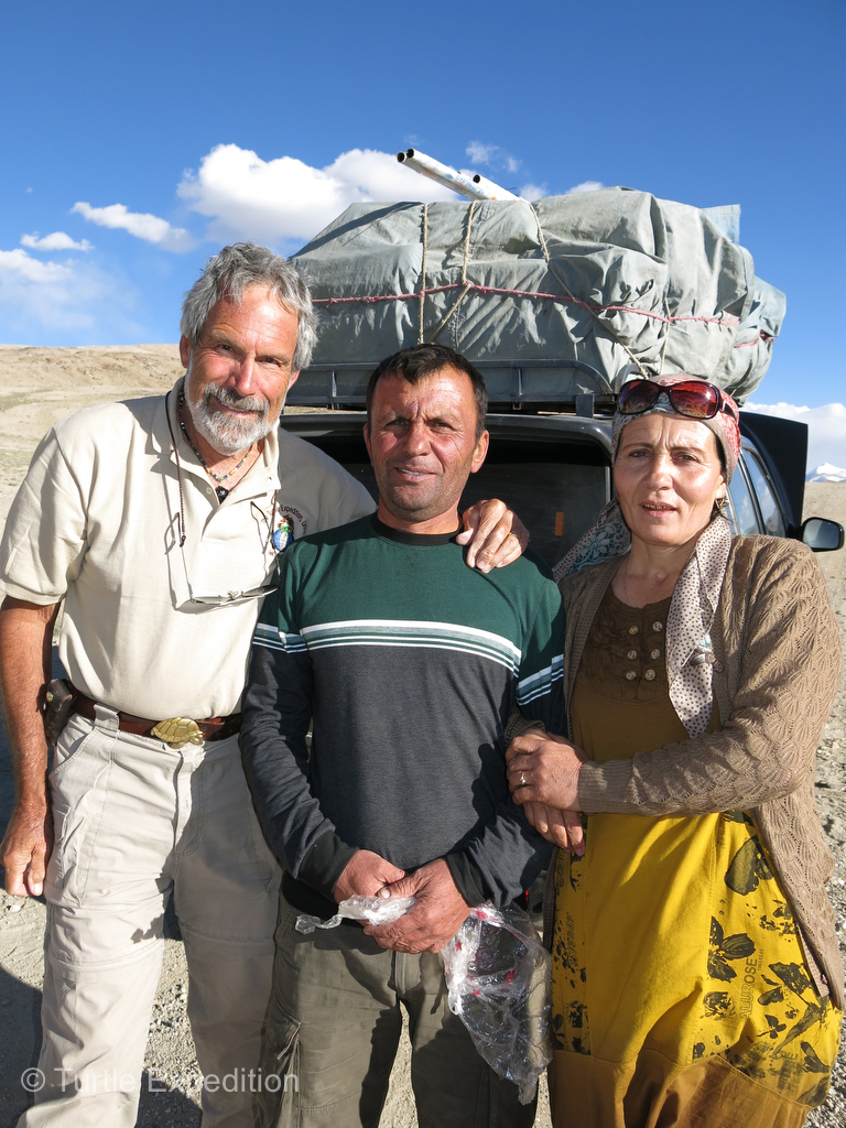
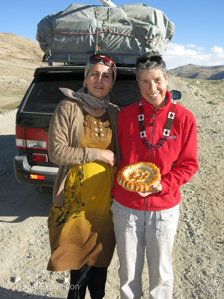
One afternoon we were able to assist a couple with a dead fuel pump. They had been sitting on the side of the road for hours with no vehicle passing. Temperatures were down to 5 °C / 41 °F and evening was approaching quickly. Gary had the wire and connectors needed to jury-rig their fuel pump and after an hour, they were gratefully on their way. They presented us with a fresh loaf of Nan (flat bread) and some curiously tasting mothball size yoghurt/salt balls. They were hard as a rock. Later we learned one needs to suck on these balls and it is supposed to help quench the thirst.
While there is much more to be said about this amazing section of the famous Silk Road, we hope these pictures will give you an impression of our experience. Despite the rumors of border conflicts, we encountered no problems of any kind and even the Afghanis across the river sometimes waved back to us. The biggest surprise of our entire Silk Road/Trans Eurasian Expedition was waiting for us just over the next 14,000 foot pass. We will soon introduce you to “The Magic Girl of the Pamirs”.
-
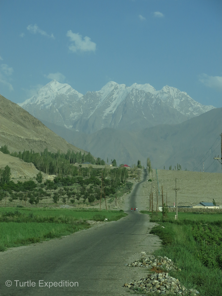
- In the beginning, the road through the agricultural-rich Panj Valley was mostly good. It would change soon.
-
- Patches of potatoes, wheat and other grains were cultivated by hand. People were busy working in their fields and gardens.
-
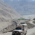
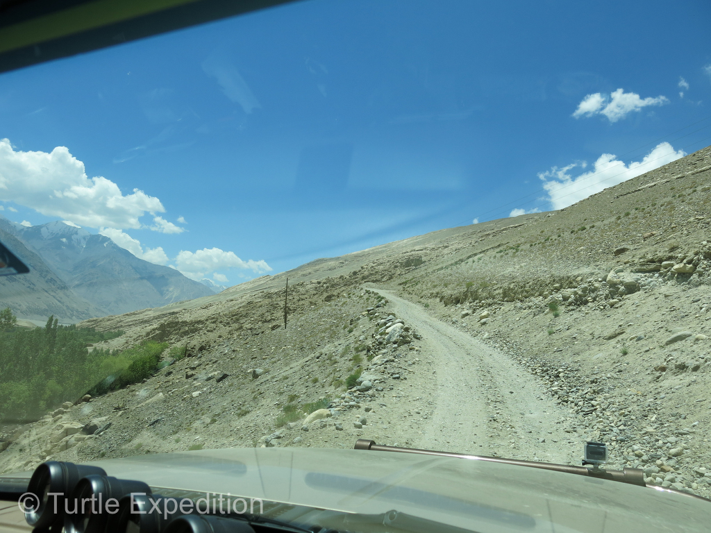
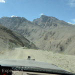
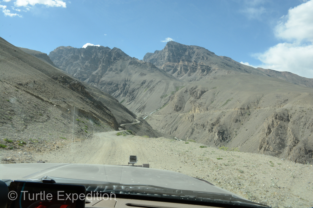
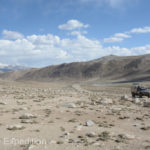
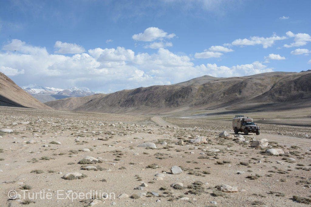
- As soon as we left the Panj Valley the track began a steep climb. The scenery told us where we were headed: UP!
-
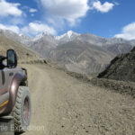
- While easily passable in two-wheel drive, the road still demanded our full attention. This was not a place to make a mistake.
-
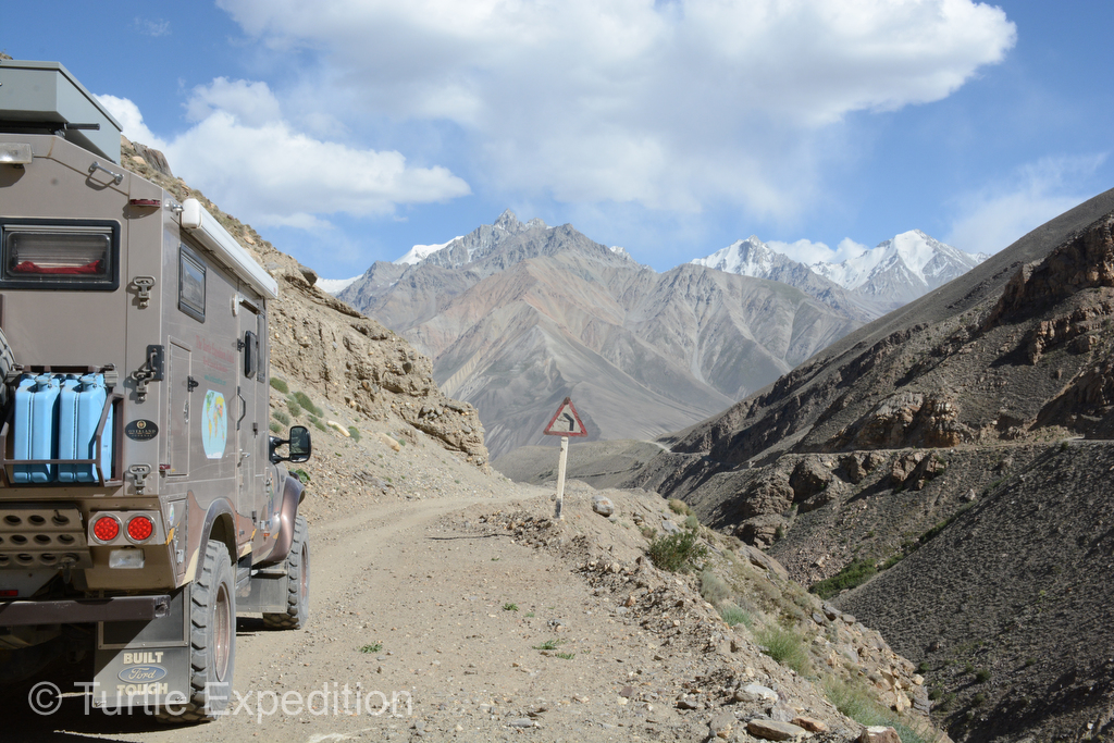
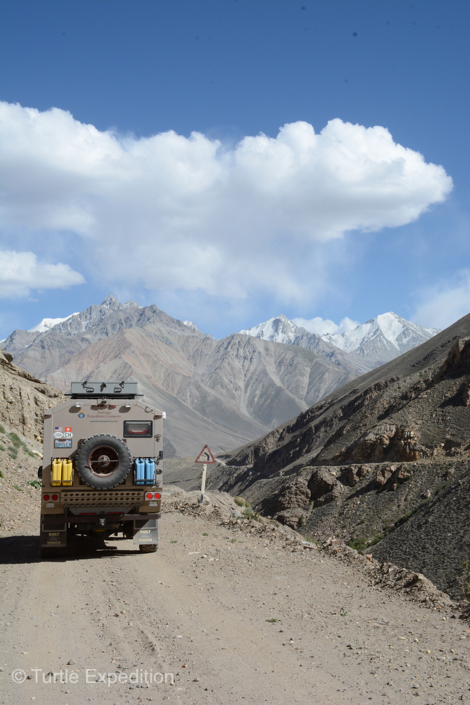
- In the distance we could see the road as it snaked along the cliffs above the canyons far below us.
-
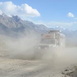
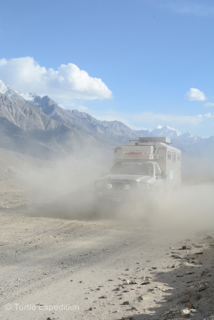
- Powdery dust was sometimes like a whiteout. Our K&N air filter had its work cut out for it.
-
- High above the tree line the scenery was still quite spectacular. Where to camp tonight? Anywhere!
-
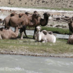
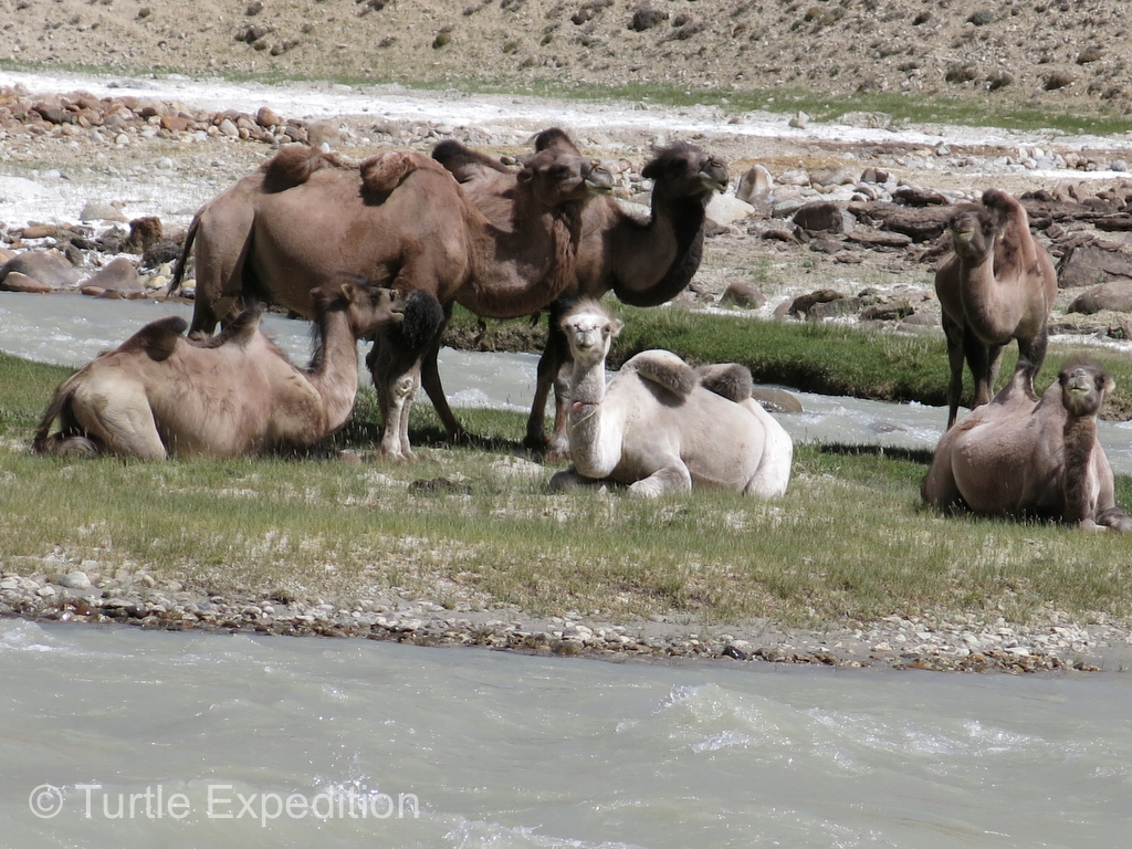
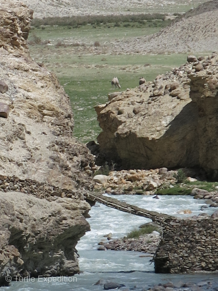
- We wondered if these camels were descendants from the caravans that once passed through this corridor. They were sitting in no-man’s land on an island in the Pamir River dividing Tajikistan and Afghanistan.
-
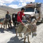
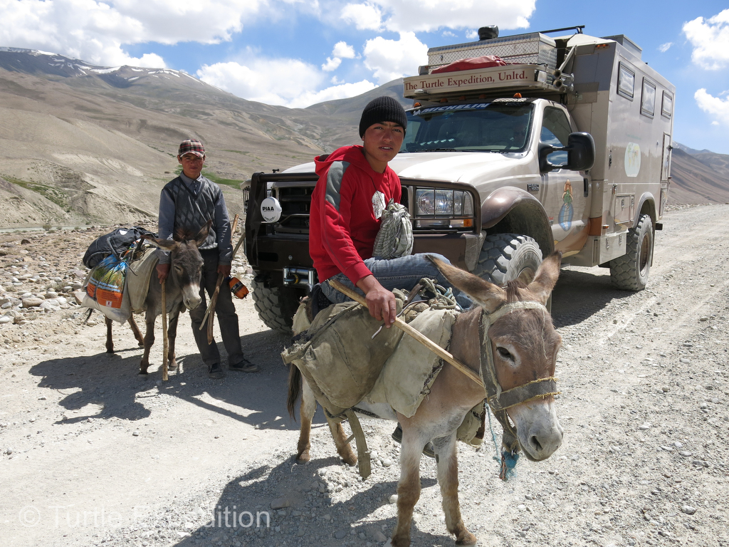
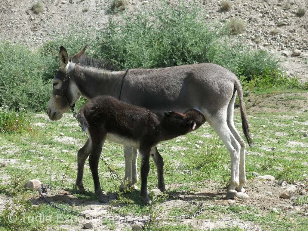
- Burros seemed to be a preferred method of transportation in this remote region.
-
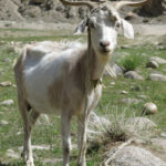
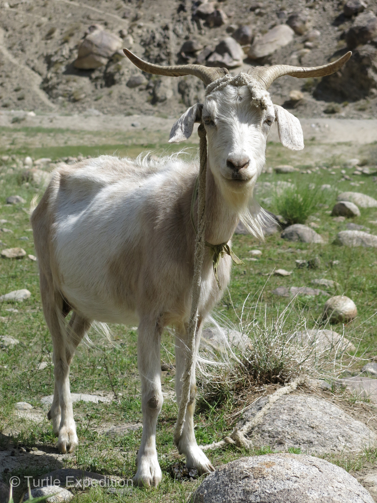
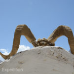
- This goat gave us a nod of approval but we were looking for its cousins, the famous Marco Polo Bighorn Sheep.
-
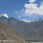
- The scenery of the Eastern Pamirs was nothing less than spectacular. China’s Conger Tagh is 7,649 m (25,095 ft.), and the Hindu Kush Mountains of Pakistan top out at Tirich Mir, 7,708 meters (25,289 ft.)
-
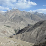
- On the barren hillsides around us we could see foot trails leading down to the river far below.
-
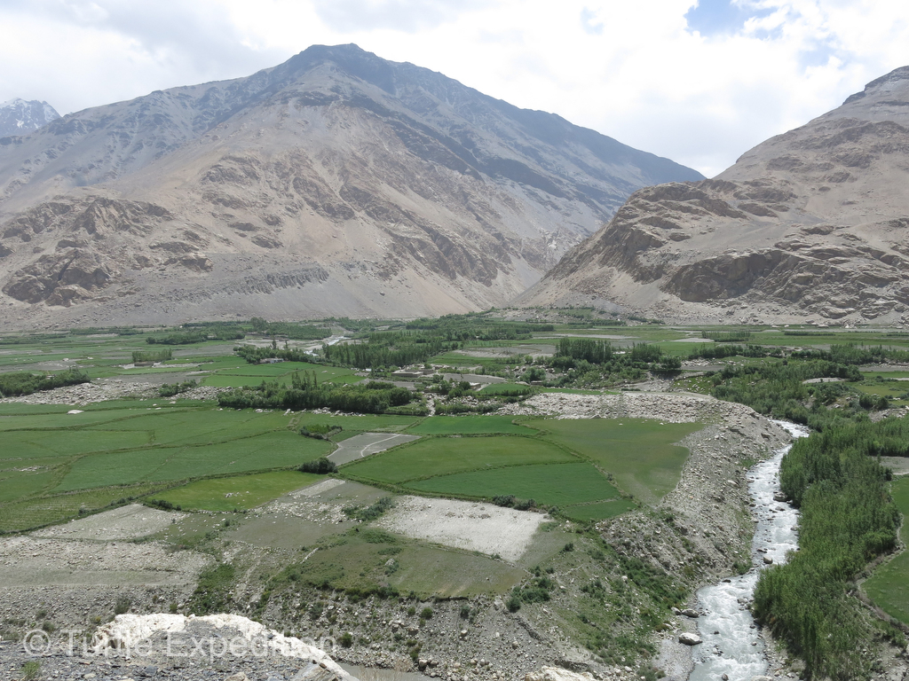
- Deep snows melting in the spring created huge alluvial plains across the valleys.
-
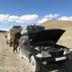
- A dead fuel pump in the mountains at 10,000 feet with night and cold temperatures approaching? We helped these people get back on the road.
-
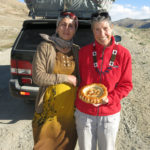
- The couple was extremely grateful for our help and presented us with a special piece of “nan”, a typical special bread of the region.
-
- At 13,090 feet, this was a good place to stop for the night. With only two or three cars passing every day, camping near the road was not a problem.
-
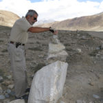
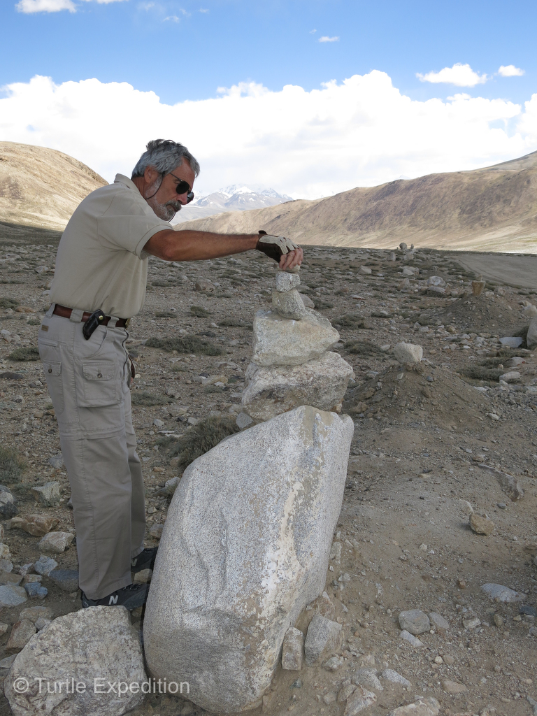
- Perhaps placing another rock on this cairn would bring us good luck. Actually, it did.
-
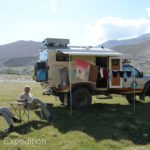
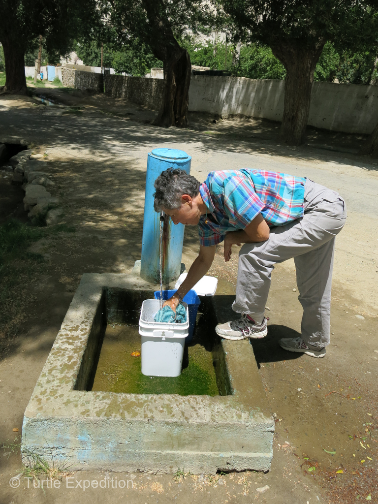
- At just over 13,000 feet we enjoyed the morning sun and took the opportunity take a hot shower and to dry some clothes. No laundromats in sight here.
-
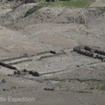
- One of our maps showed several locations of ancient settlements or fortresses or caravansaries, but we only spotted this one well off the road. Did Marco Polo stay there??
-
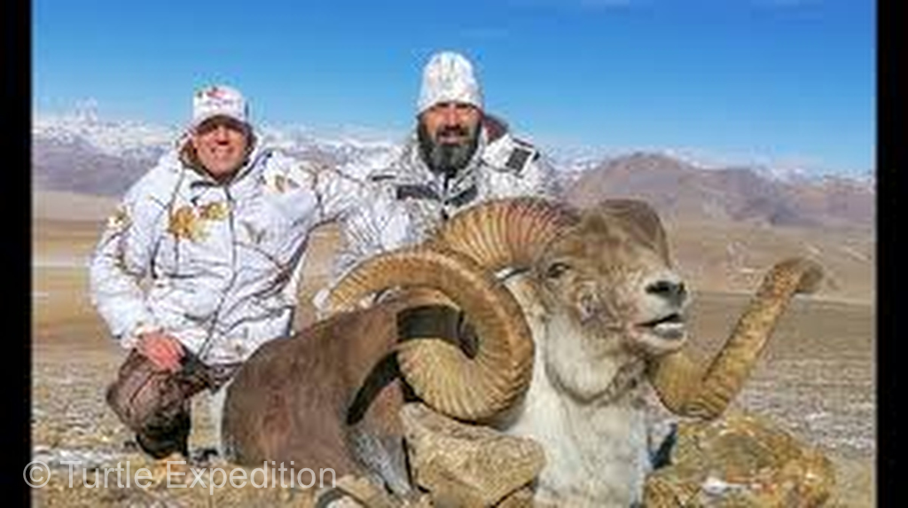
- The legendary Marco Polo Bighorn Sheep are considered threatened with extinction in the near future thanks to uncontrolled hunting. How sad!
-
- A Marco Polo Bighorn Sheep skull offering on a road side shrine.
-
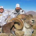
- Hunters posing with their Marco Polo Bighorn Sheep trophy. Photo from the internet.
-
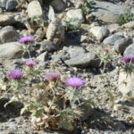
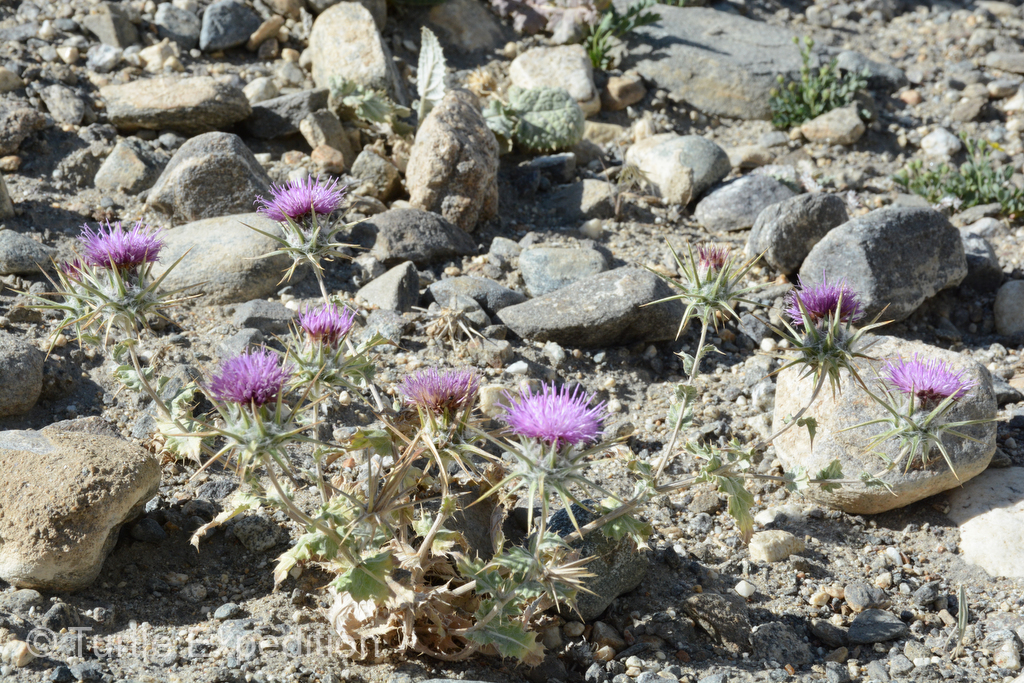
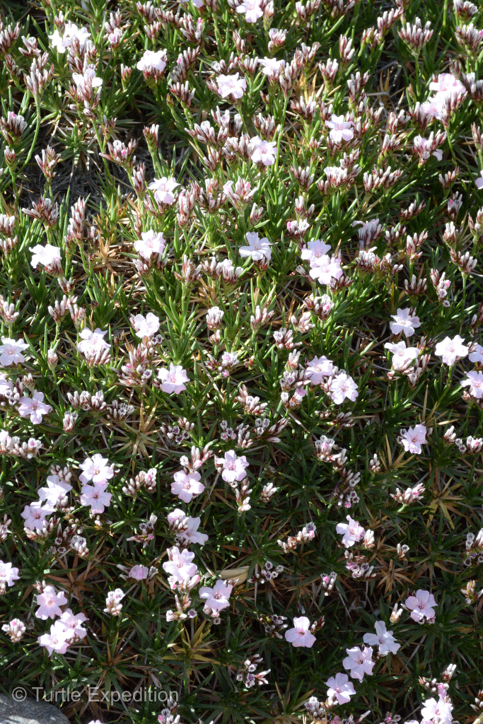
- Even at this elevation a few flowers survived.
-
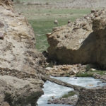
- Footbridges crossing rushing streams cascading down from the mountains required a leap of faith.
-
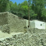
- Passing the occasional village, simple homes were built of rocks and one handful of mud at a time.
-
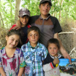
- Villagers along the roadside were always friendly and excited that we had come all the way from California to see them.
-
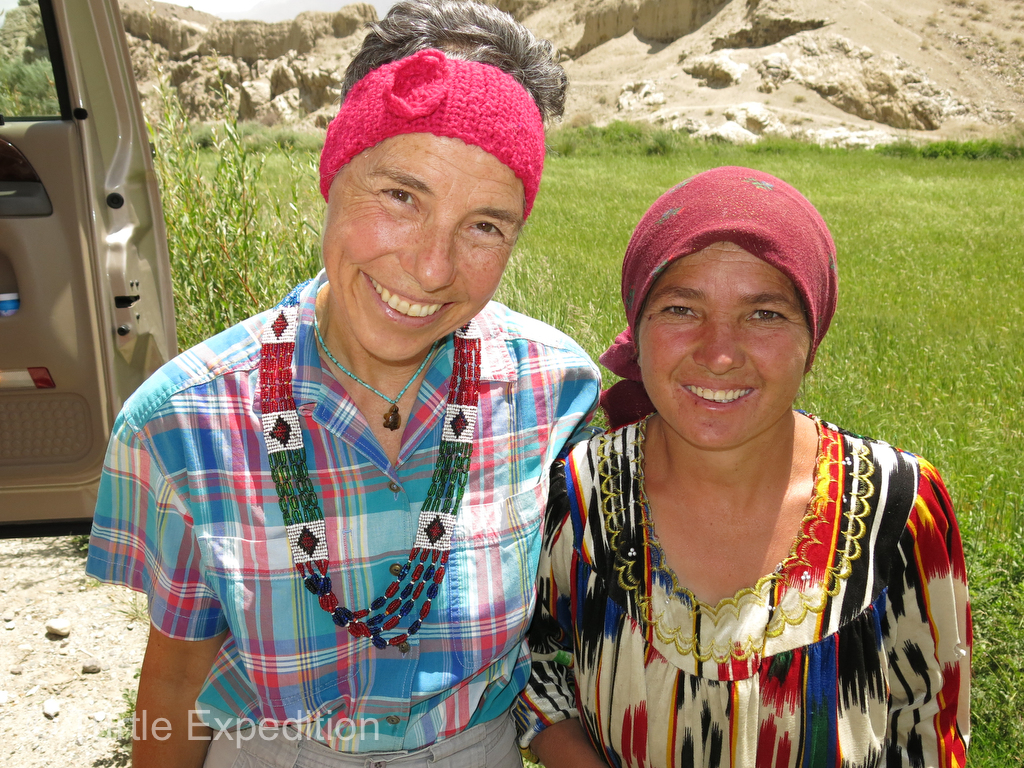
- Monika bought this traditional Pamiri style necklace from this lady who later presented her with a headband as a gift.
-
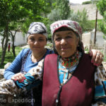
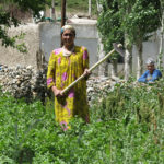
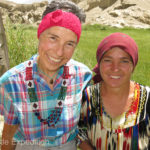
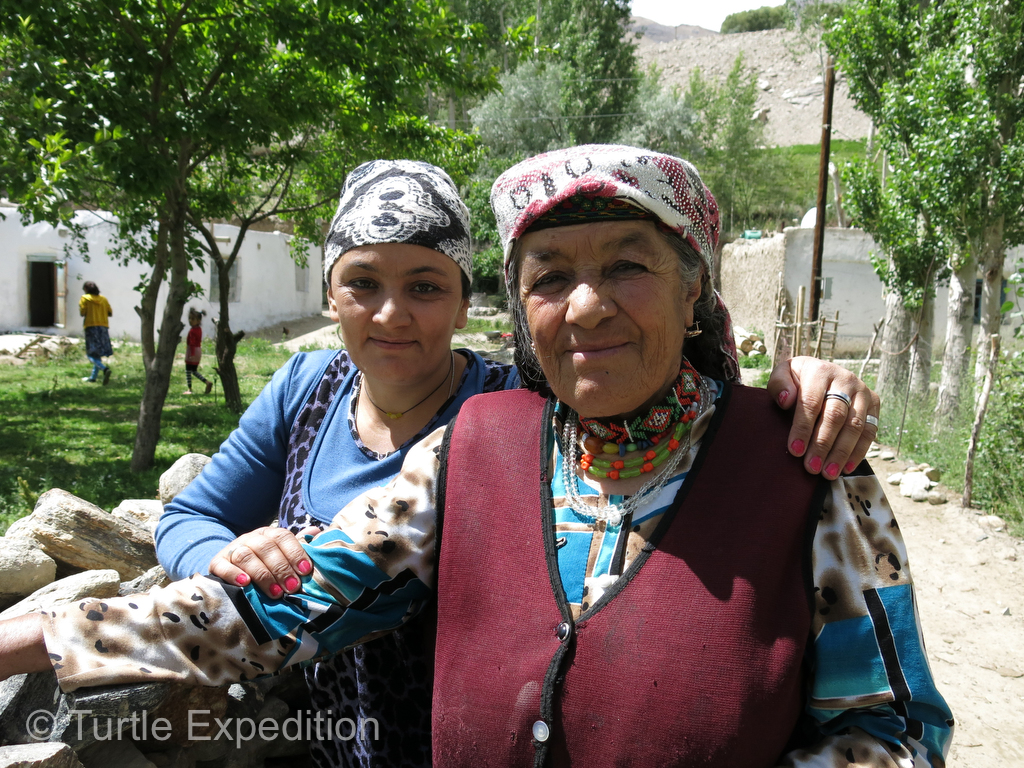
- These two ladies working in their garden loved to have their picture taken.
-
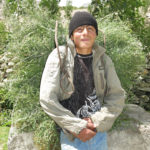
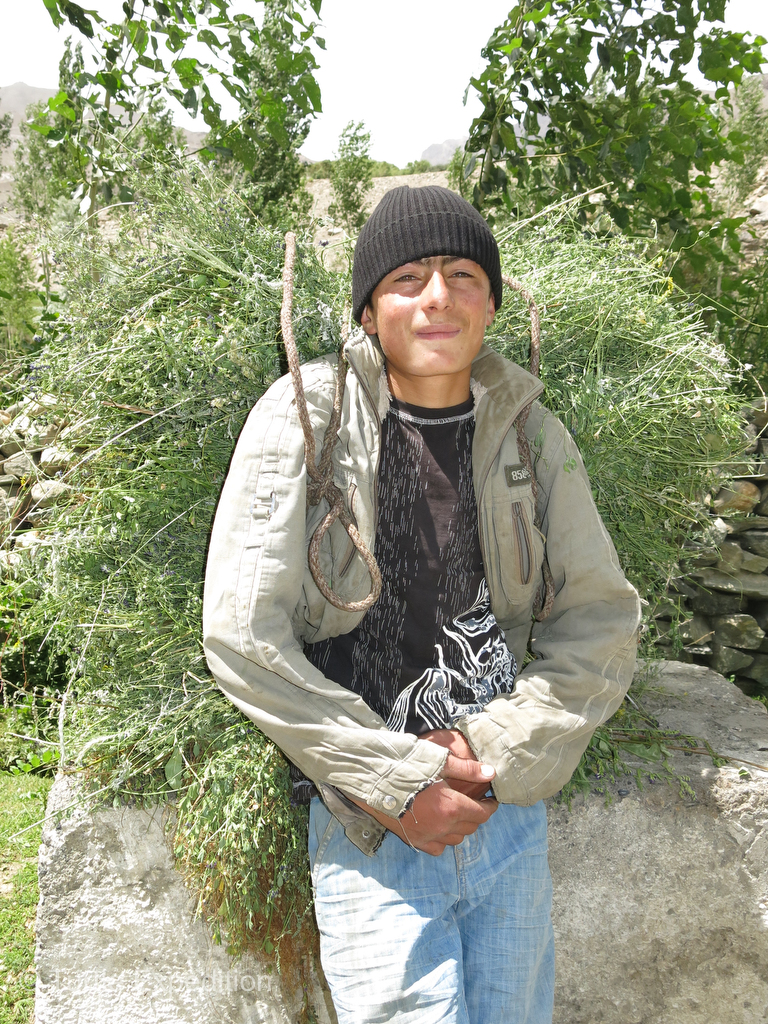
- On his way home with a heavy load of hay, this guy was happy to pose for a quick photo.
-
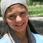
- Gary’s camera is always looking for a pretty face. What a doll!
-
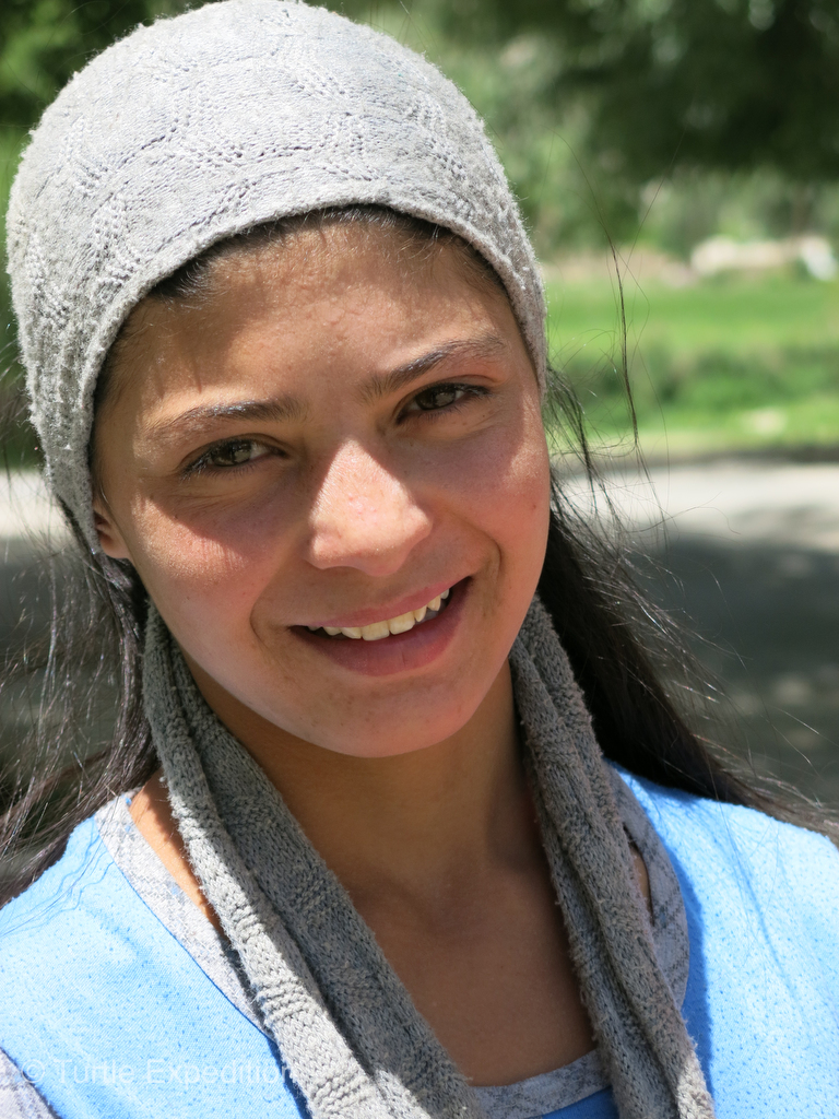
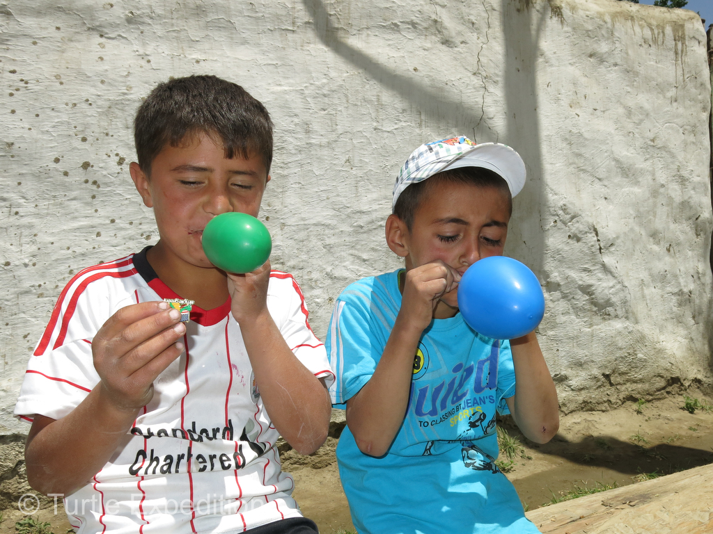
- We sometimes stopped to give the kids balloons. They’re always a big hit.
-
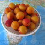
- We could resist to buy another half bucket of freshly picked high-altitude apricots.
-
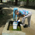
- A local watering hole in this village gave us a chance to rinse some clothes and fill up our tank.
-
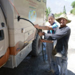
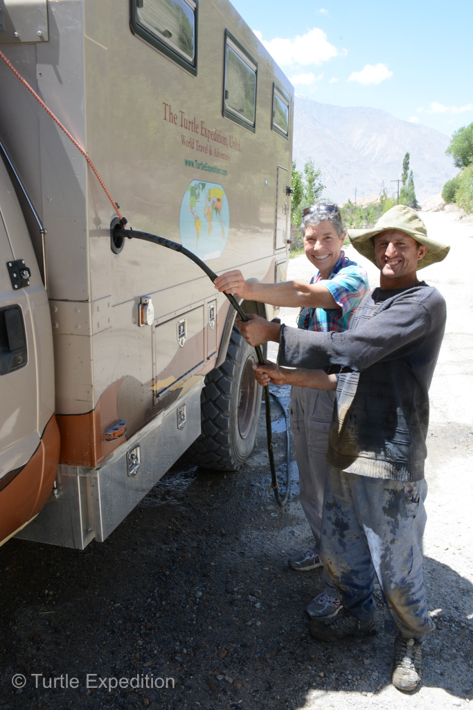
- This farmer joyfully helped us fill our water tank with his old garden hose. We didn’t have enough hands to plug all the holes! To replace it was too expensive for him and he had to travel to Khorog, three hours away, to get it. As a thank you we presented him with the amount he needed to buy a new one.
-
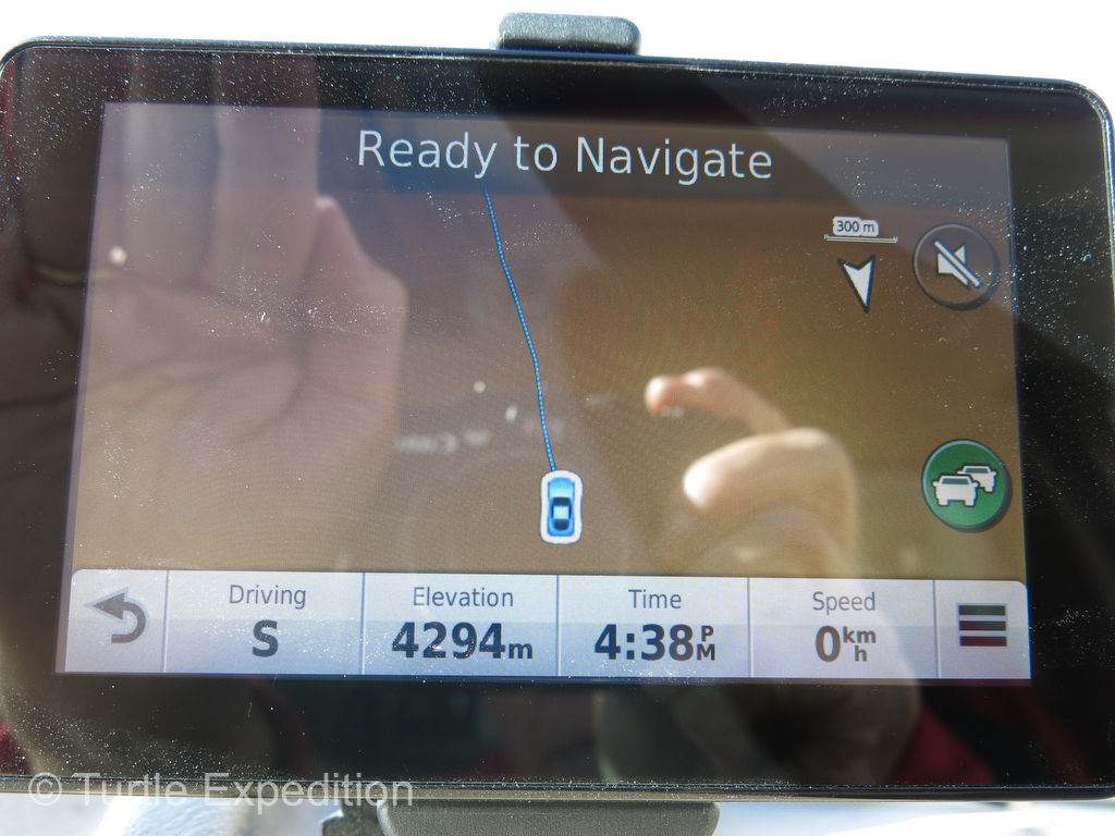
- At 4,294 m (14,087 ft.) over the Khargush, (map says 14,251 ft.), we stopped for the night. Both our Espar Airtronic and D5 Hydronic heaters were performing flawlessly thanks to their new high-altitude compensation kit installed in Istanbul.
-
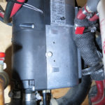
- The Espar D5 Hydronic heats coolant from the engine to 160°F and pumps it through a Flat Plate heat exchanger to give us instant hot water, thermostatically controlled to 120°F.
-

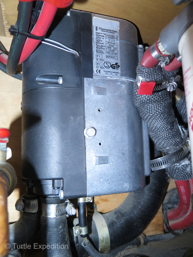
- Depending on how we set these valves, the Espar D5 Hydronic coolant heater can heat our hot water, the camper or the engine, or all three at the same time.
-
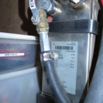
- The Flat Plate transfers the heat from the Espar D5 Hydronic to our cold water as it is pumped through its chambers before it reaches our hot/cold faucets on our sink or shower.
-
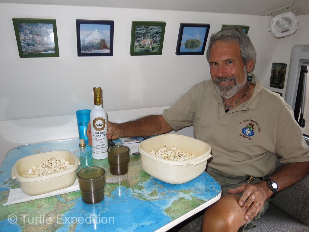
- After a long, hard, dusty drive, we camped for the night and celebrated our successful journey through the Wakhan Corridor with popcorn and a shot of vodka.
We posted a video on our Wakhan Corridor Travels with YouTube, Facebook, Tumblr., reddit and others. When we uploaded the YouTube link into this blog, YouTube added a bunch more videos to watch so we had to delete it for safety reasons.
To find it go to YouTube.com and type: turtle expedition wakhan corridor


Leave a Comment