Following the Afghan border – Tajikistan #4 – July 2014
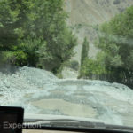
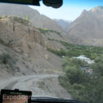
After airing down our tires a little we made an early start, not to draw more attention to the Afghan border patrol. Since leaving California our Michelin XZLs had not had even a single leak, but potholes in deteriorating asphalt were bone jarring. Unlike a hole on a dirt road that you can roll through, holes on asphalt have a sharp edge on both sides. Sometimes it felt like dropping into a toilet bowl. Lowering the pressure down to 35psi significantly softens the ride.
Big trucks – narrow roads
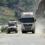
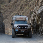
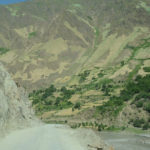
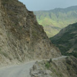
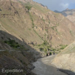
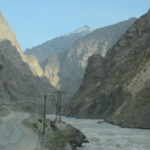
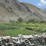
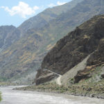
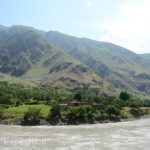
Traffic was light but BIG, and there were few turnouts if we happened to meet one of the double tandem Chinese semi-trucks around a narrow blind corner. The river dictated the path along the cliff, and its muddy rapids did not look friendly. Where the canyon widened there were small villages on both sides. Anywhere half flat could be a home or a field. Hand-built rock homes were mixed with third-world adobe houses with straw roofs. Neat fields of wheat and vegetable gardens were the obvious sign of a subsistence life. There were no tractors or mechanical harvesters, and even steep mountain sides were cultivated.
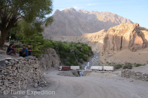
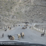
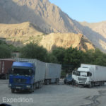
Parking areas near villages offered truck drivers a place to rest and do repairs. We saw more than one transmission or differential on the ground, no doubt waiting for parts. Herds of cows on the road were replaced by herds of goats and sheep, perhaps a sign of the increasing altitude. The country is home to some of the highest mountains in the world. Topping out at 24,600 ft., (7,500 m), the average elevation of the country is about 10,455 ft. and 50% is over 9,800 ft., (3,000 m). Glacier-clad peaks glistened in the distance.
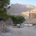
By afternoon, we were excited about the amazing scenery but tired of potholes and dust. Wondering what was coming around the next corner, we came upon a major bridge crossing. It had been washed out at least once and looked like it was on its last leg. We pulled off on a side trail and made camp. It was an interesting show, watching the big trucks negotiate the bridge which required a 90% turn at the far side. If the bridge held we were hoping to reach Khorog tomorrow.
- Dropping the pressure down to 35psi significantly softens the ride.
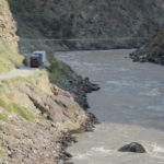
- Wide turnouts where the big double-tandem Chinese overloaded semis were few and far between.
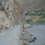
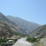
- The river dictated the road, carved out of the cliff, and the traffic around the next corner was often unknown.
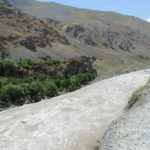
- The muddy rapids did not look friendly. No swimming allowed, and no mistakes on this narrow road.
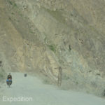
- These overland cyclists had their work cut out for them.
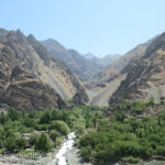
- Anywhere half flat along the river could be a home or a field to grow food.
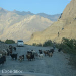
- Herds of cows on the road were replaced by herds of goats and sheep, perhaps a sign of the increasing altitude.
- Neat fields of wheat, potatoes and vegetable gardens were the obvious sign of a subsistence life.
- The road always seemed to get a little worse coming into a village.
- Locals sat in the shade to watch the truck parade.
- Parking areas near villages offered truck drivers a place to rest and do repairs.
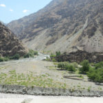
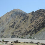
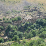
- Just across the river was Afghanistan and we could see the dirt road that ran along border.
- If you zoom in you can see an Afghan woman and two men returning from a market with supplies on their burros.
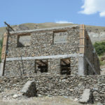
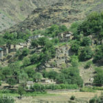
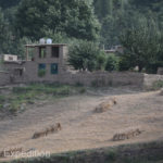
- Some of the rock homes were really beautiful but there was very little cement used in the walls themselves.
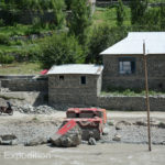
- Red carpets were drying in the sun.
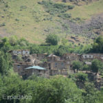
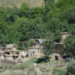
- On the Afghanistan side of the river we could see hand build rock homes mixed with third-world adobe houses with straw roofs.
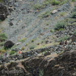
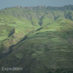
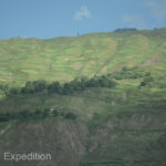
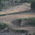
- Even the steep mountainsides were cultivated most likely by hand since we saw no sign of tractors.
- Wheat was probably harvested with a hand scythe and neatly tied in bundles. The two antennas on top of this house in the background showed a sign of prosperity or were they placed by the military for security reasons?
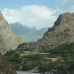
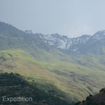
- Glacier-clad peaks glistened in the distance. The average elevation of Tajikistan is about 10,455 ft. and 50% is over 9,800 ft., (3,000 m).
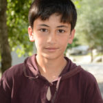
- We wondered if this young boy knew why we were smiling at his T-shirt.
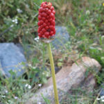
- Always looking for flowers, Monika spotted this beautiful seed head of an Arum Orientale (Aronstab) on the side of the road. She finds it fascinating to discover plants that have spread throughout Eurasia!




Leave a Comment